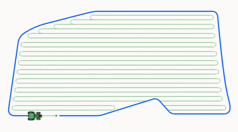
This thesis focuses on coverage path planning for agricultural vehicles.
The objective is to develop a software system that, starting from recorded robot trajectories, generates a field representation suitable for coverage planning. The system should integrate with tools such as Fields2Cover or the Nav2 coverage server to compute efficient coverage paths.
Key tasks include:
Processing recorded paths into geometric field representations
Generating coverage strategies using existing planners
Implementation can be done in C++ or Python3. The project can be conducted entirely in simulation, with optional real-world validation at the Cremona’s campus or nearby test fields.